Search
Rafting on the Bóbr River
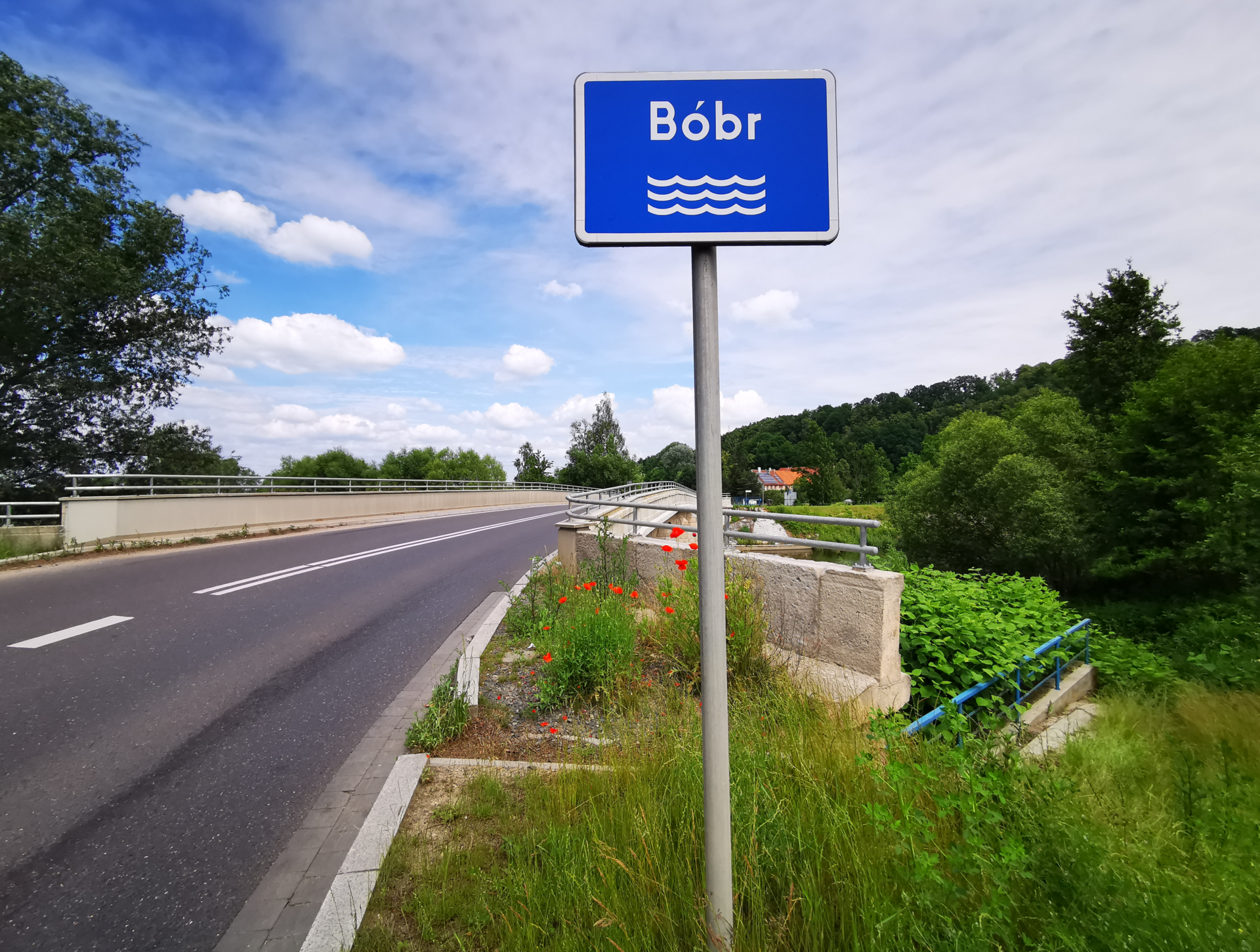
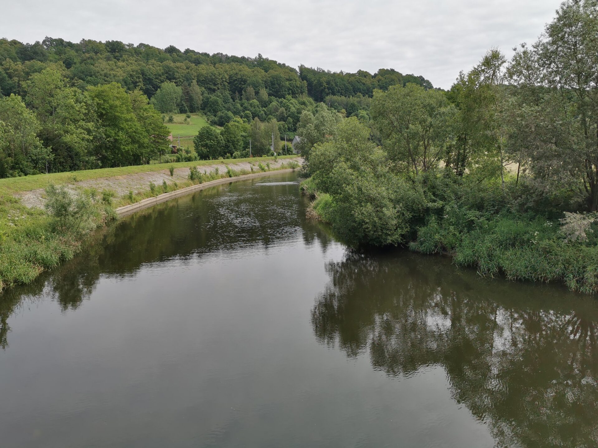
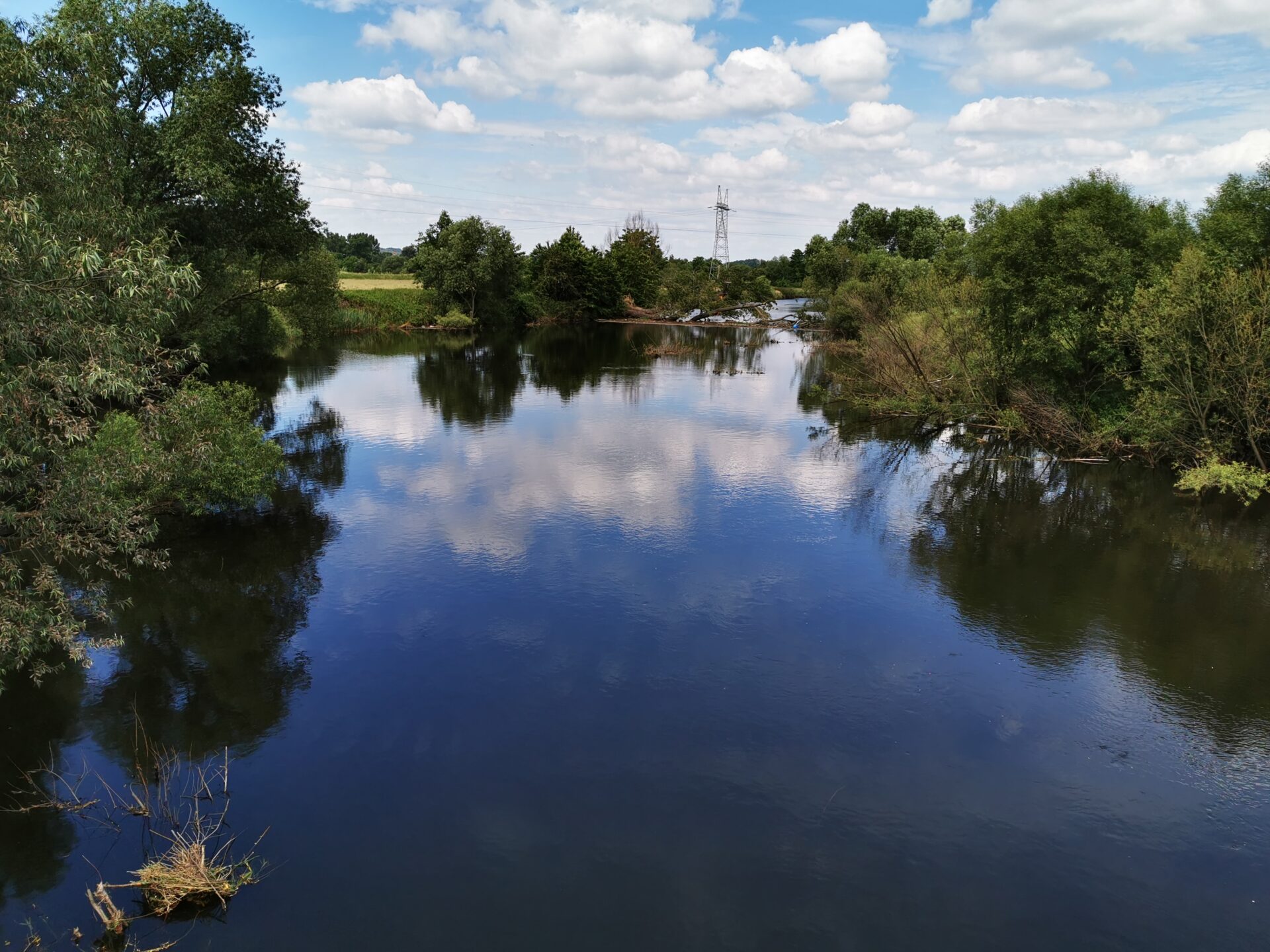
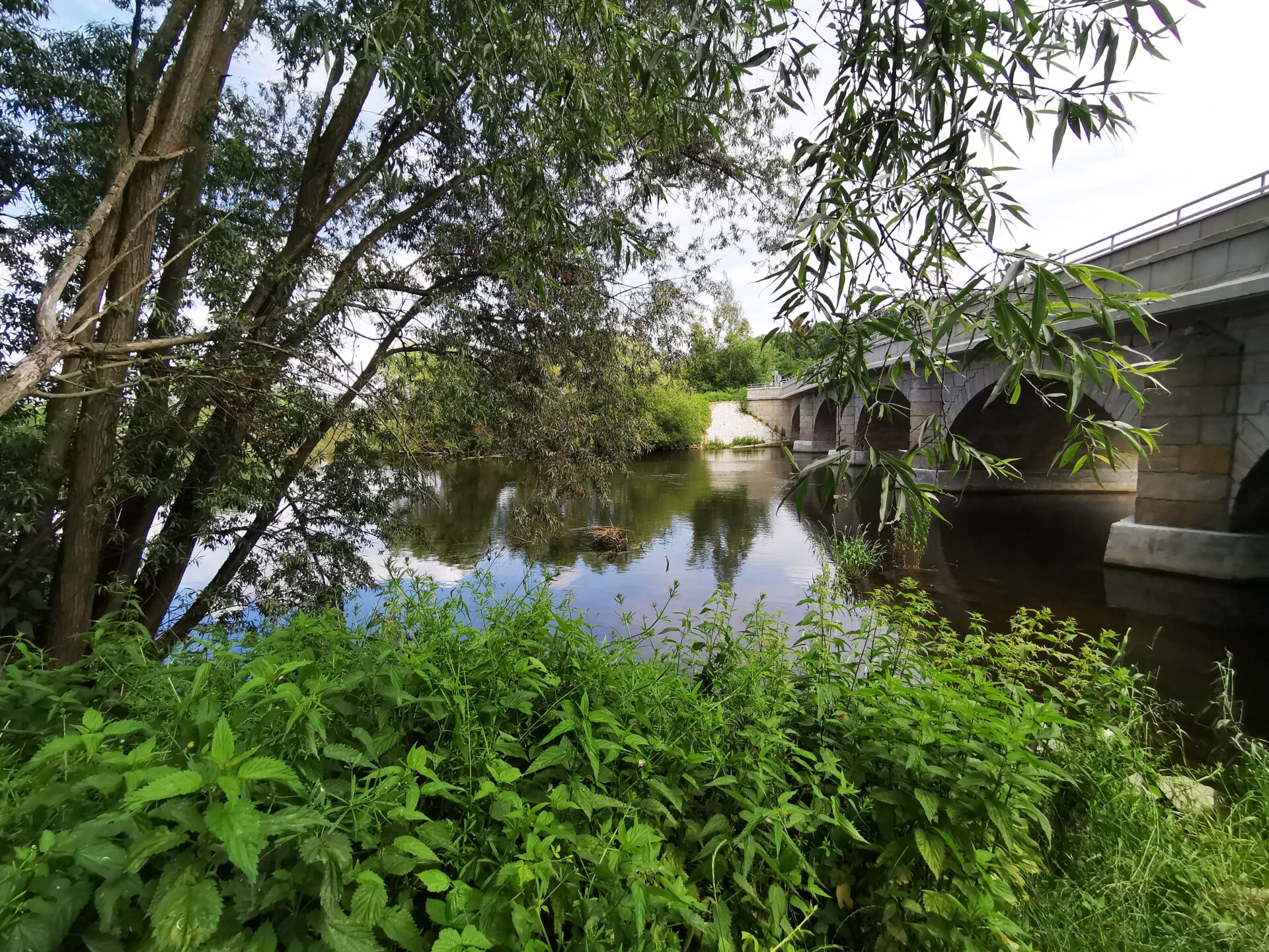
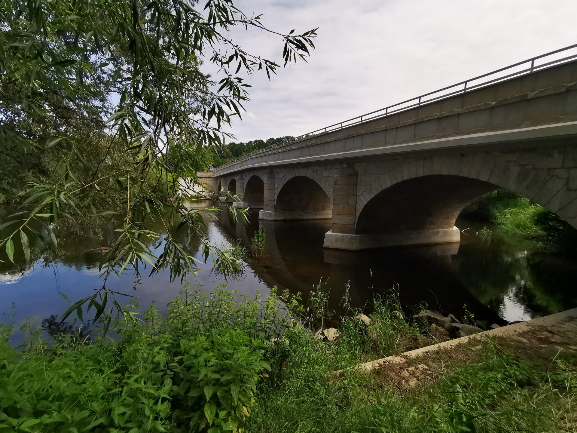
Through the area of the Lower Silesian Forests, the river flows first in the Lower Silesian and then in the Lubuskie Voivodeship. The subject of interest in this article is the section Boleslawiec – Szprotawa, flowing meridionally through the forest, about 45 km long. It is best to break it up into 2-3 days of rafting.