Search
Walk the Main Sudeten Route


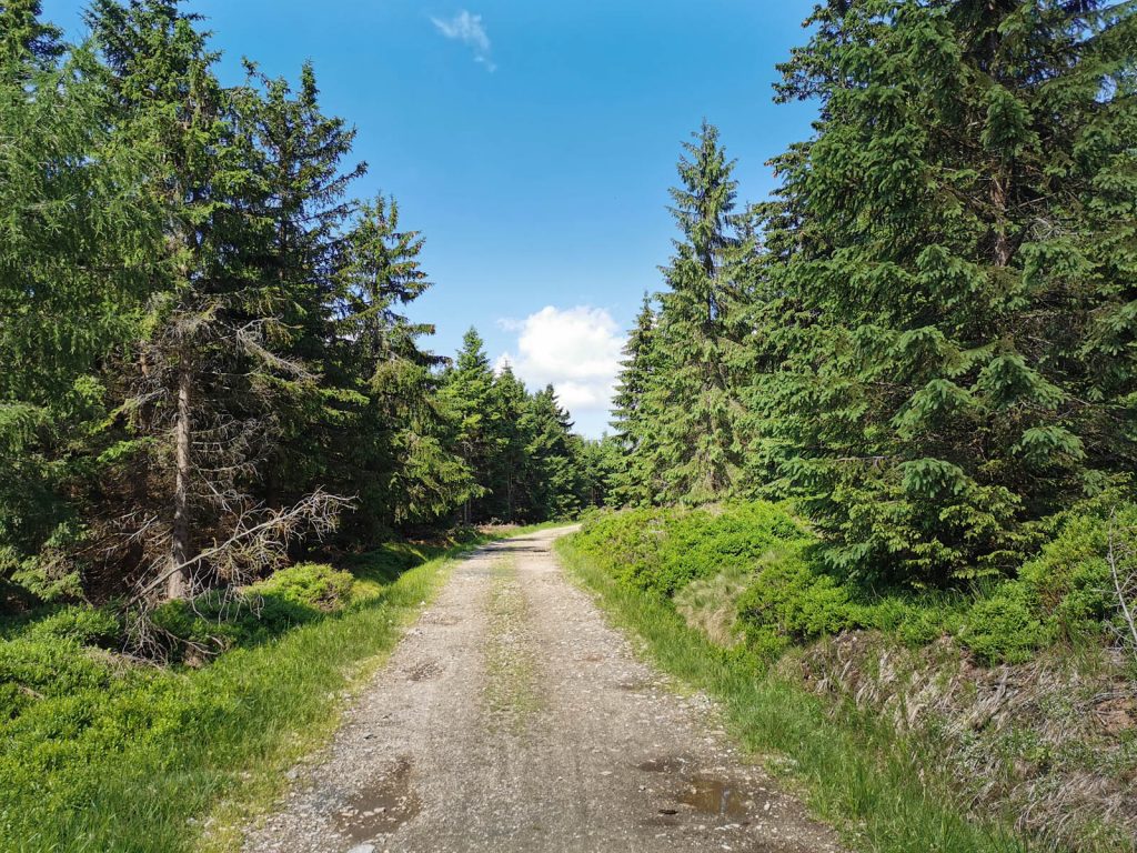

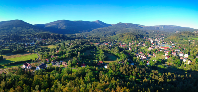
The Main Sudeten Route is a red trail leading from Swieradow-Zdroj to Paczkow through the most interesting parts of the Sudetenland.
A map of hiking trails is available at: dolnoslaskie.szlaki.pttk.pl
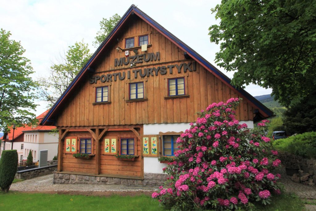
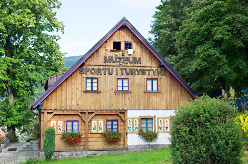
Related objects


A map of hiking trails is available at: dolnoslaskie.szlaki.pttk.pl