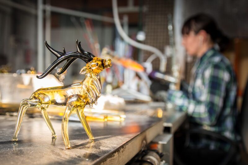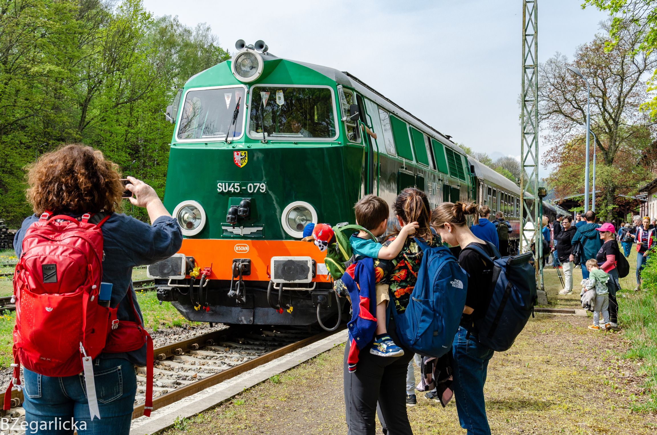


Lower Silesia through the lens
Check out our suggestions for proven places to capture on camera!
-
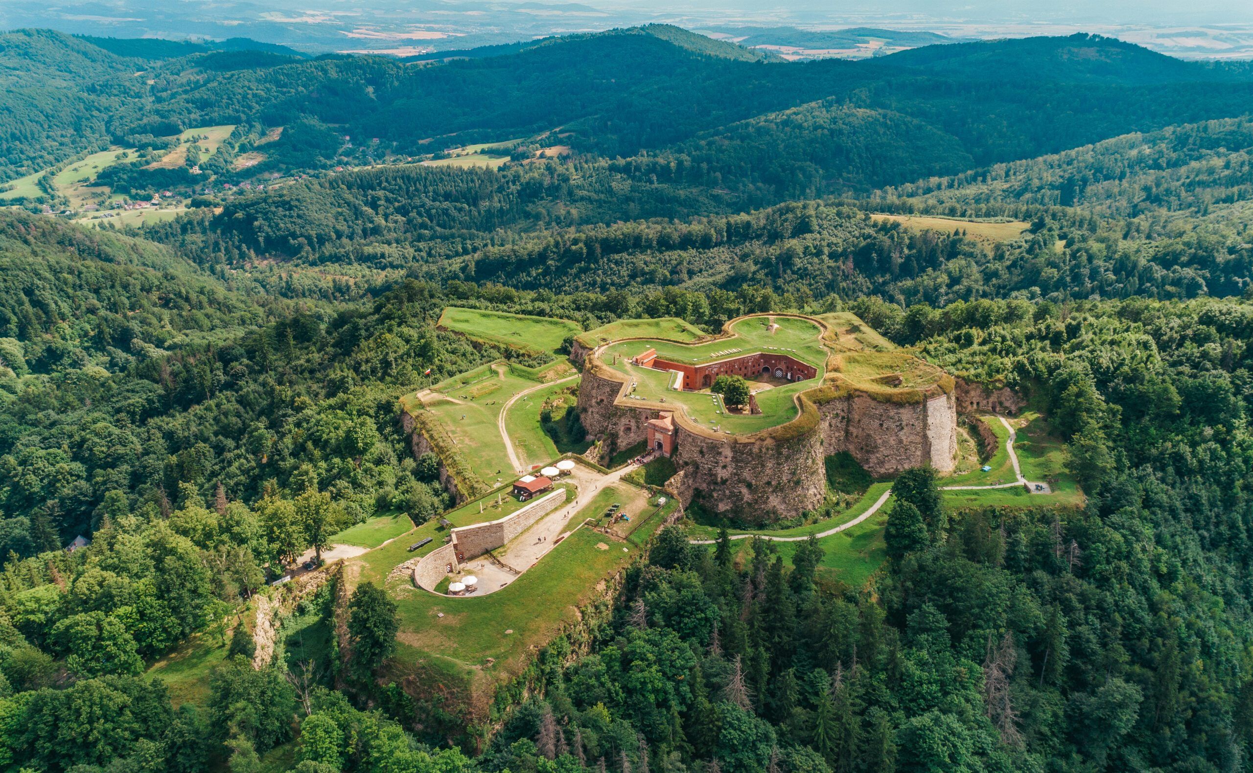
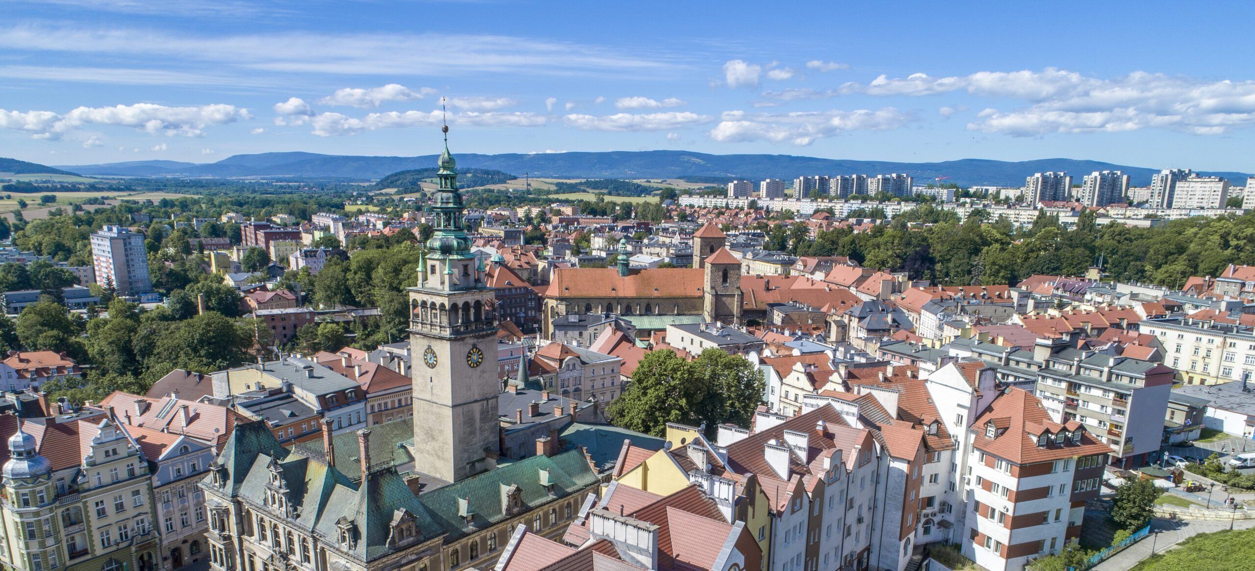
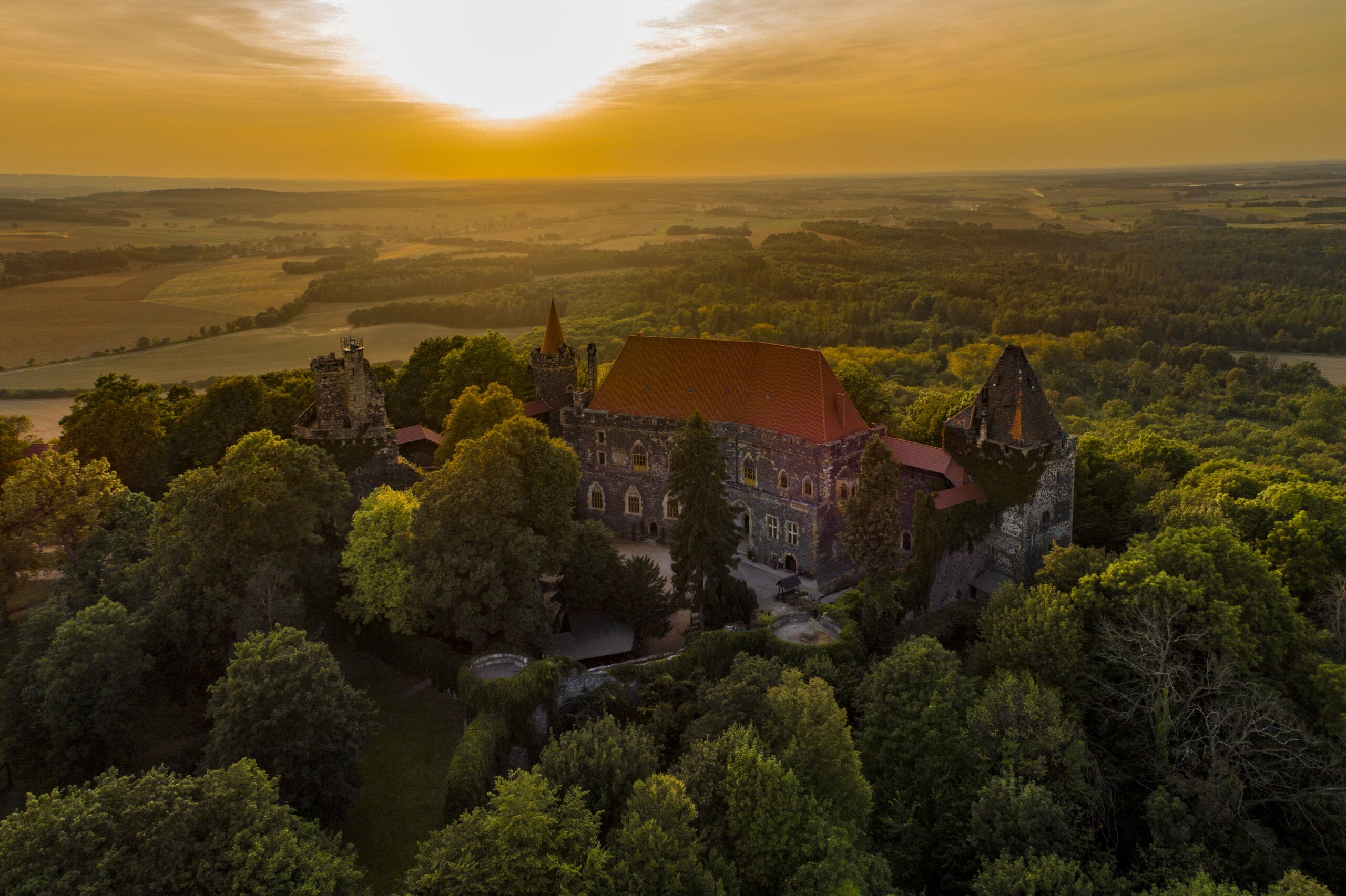
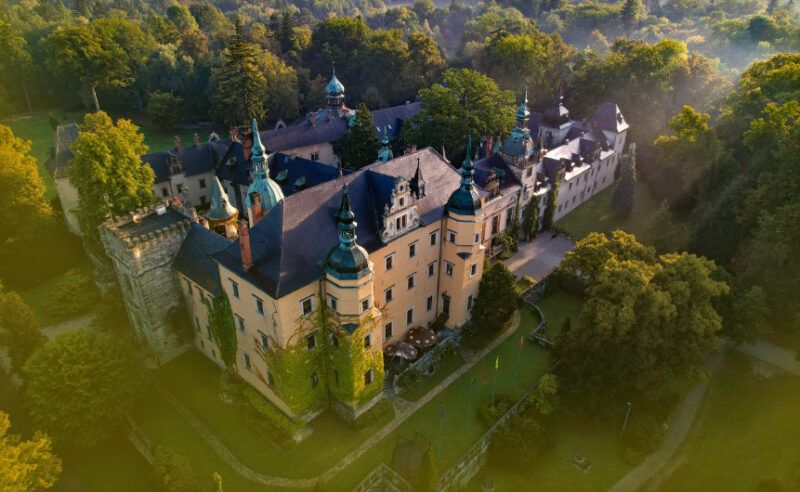
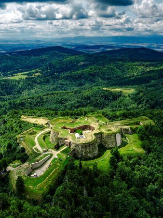
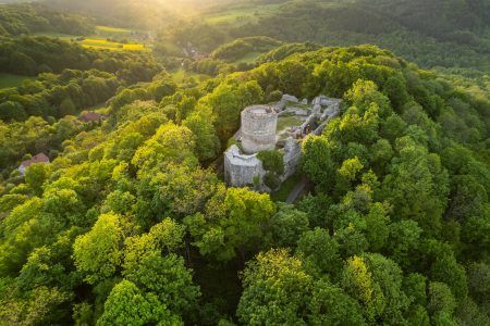
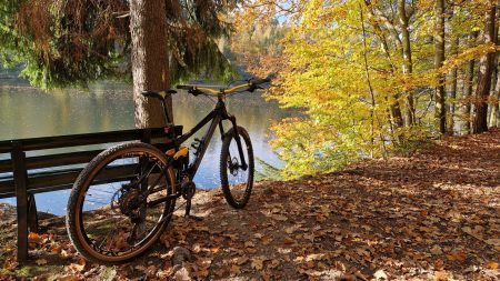
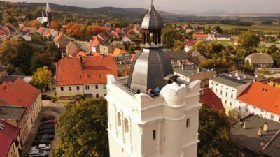
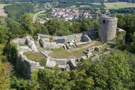
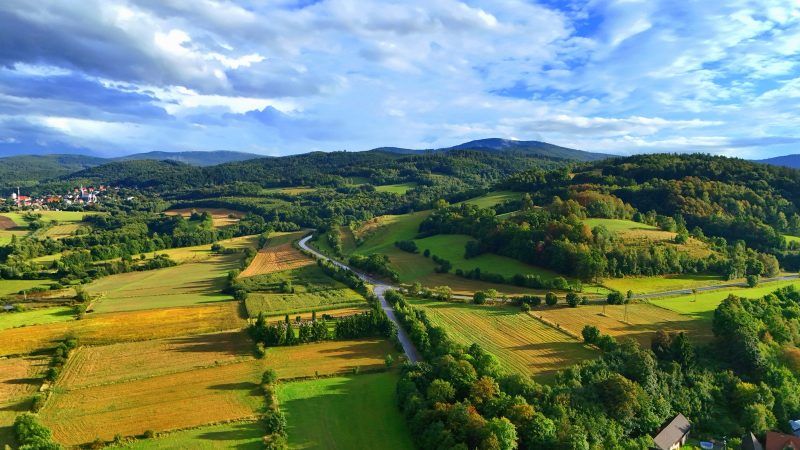
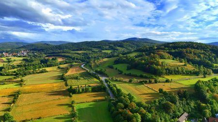
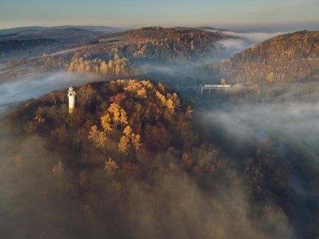
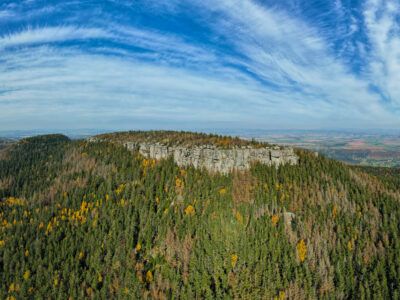
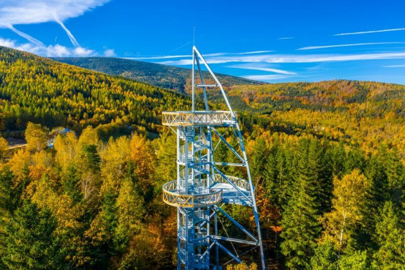
Towers, terraces and viewpoints
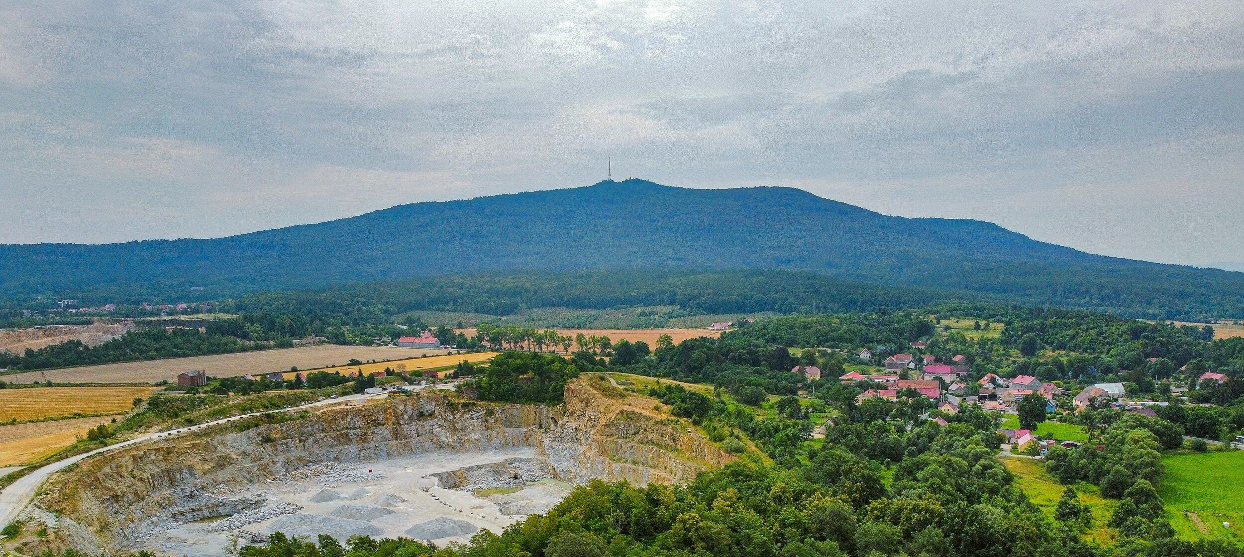
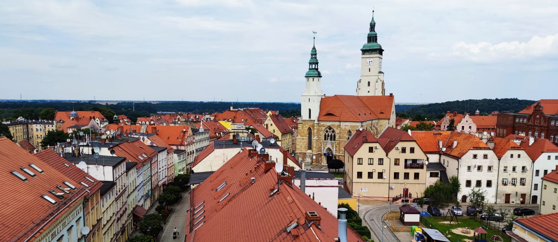
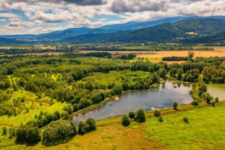
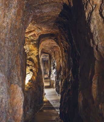
There are more than 90 towers and observation platforms in Lower Silesia, from which one can admire the region's picturesque landscapes. Most of them are located in the mountains, but there is also no shortage of those in cities, such as gate towers or town hall towers. It is worth visiting these places to see the vast mountain ranges, picturesque valleys and lakes, as well as historic towns and villages, which offer fantastic views against the backdrop of the setting or rising sun. View more
-
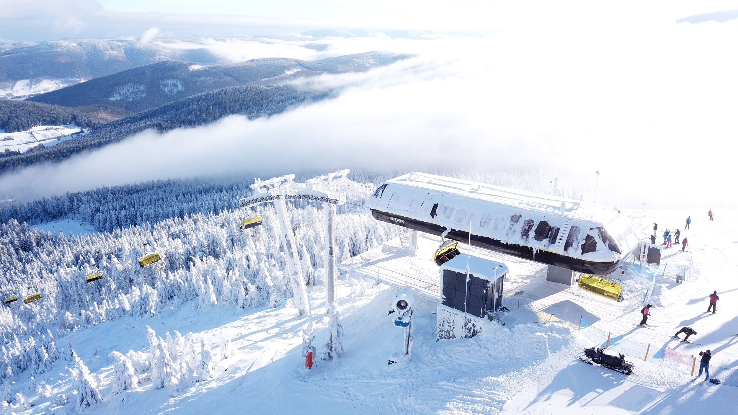
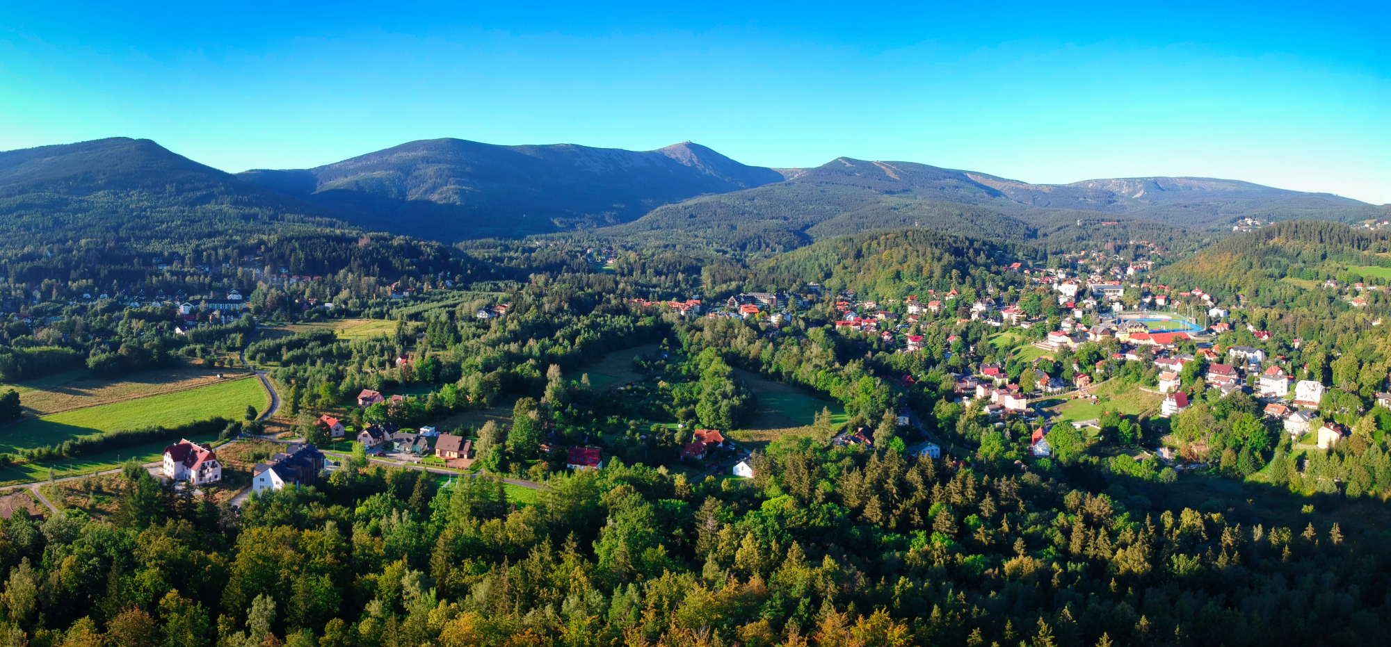
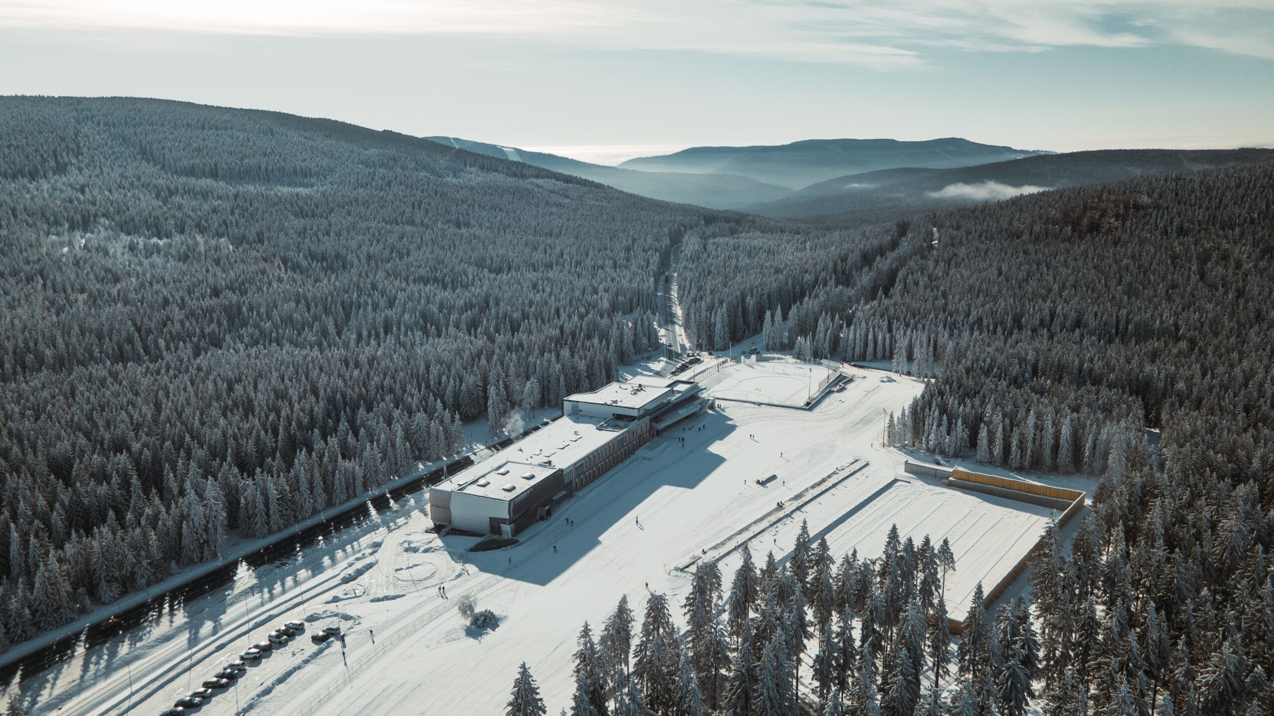
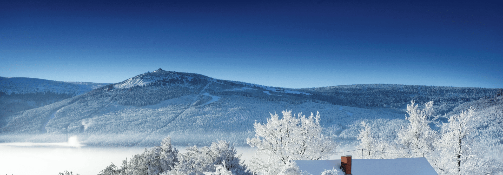
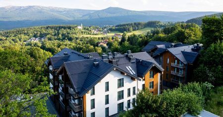
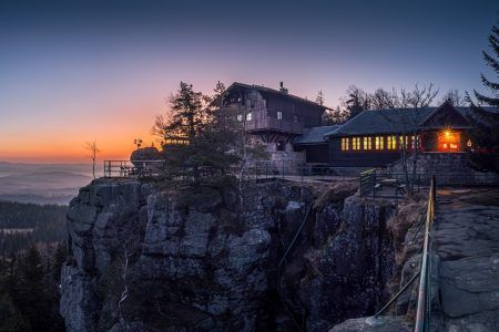
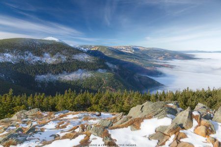
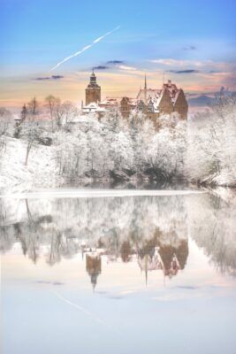
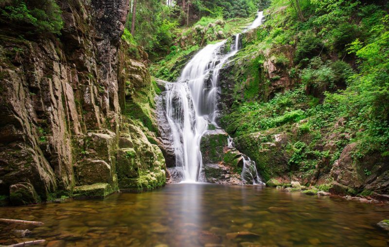
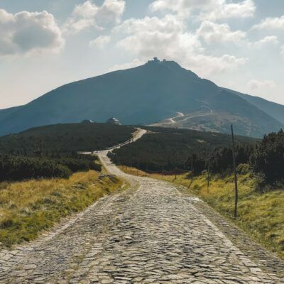
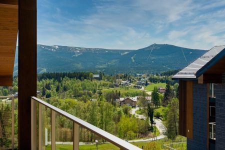
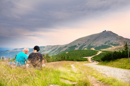
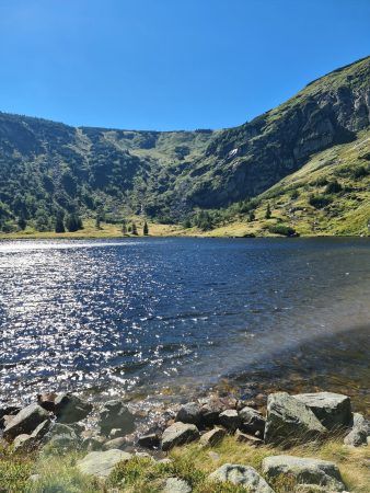
Picturesque Giant Mountains
The Giant Mountains are a true paradise for photographers! Capture the majestic peaks of Śnieżka and Szrenica, the Black Jagniątkowski Cauldron, the glacial Śnieżne Kotły or mysterious rock formations like Pielgrzymy and Słoneczniki. Don't forget the charming Samotnia mountain hostel and the spectacular Kamieńczyk and Szklarki waterfalls!
-
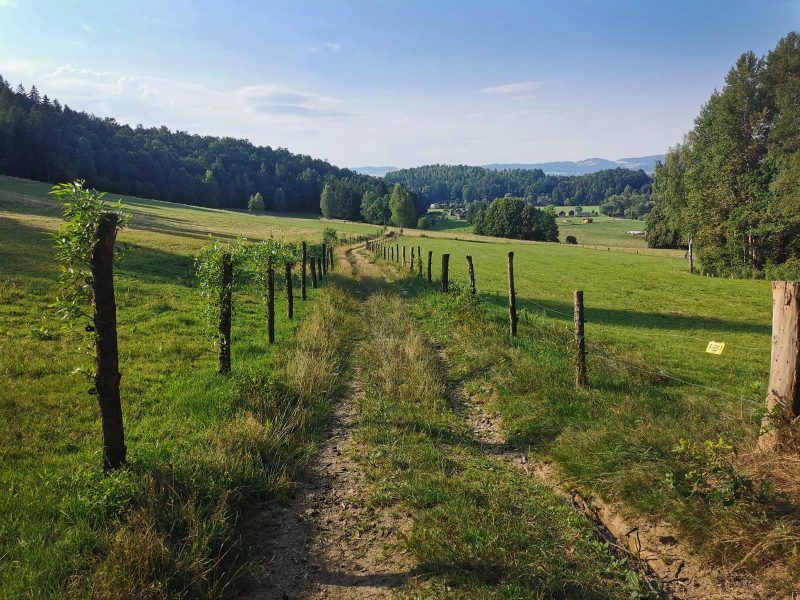
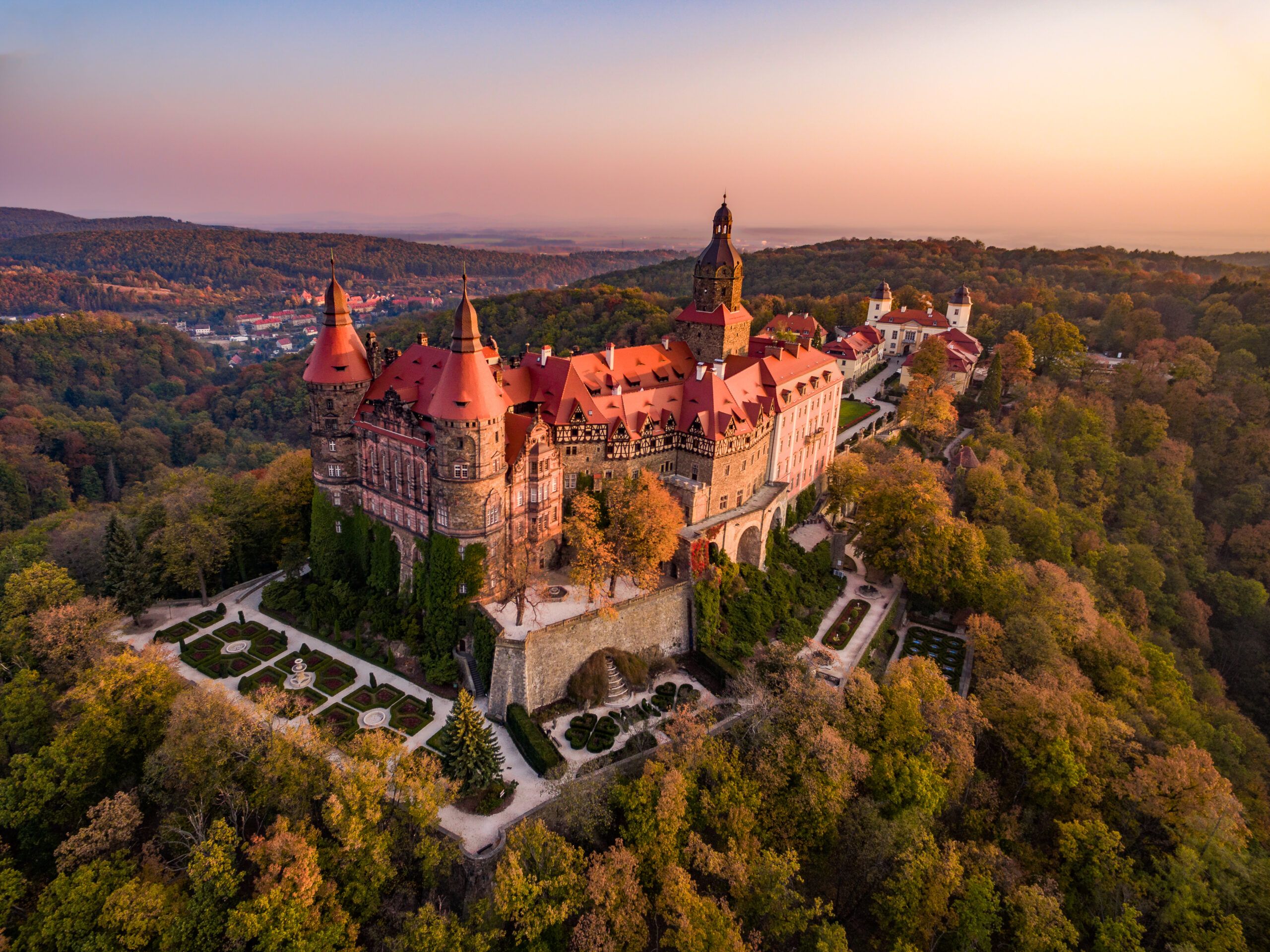
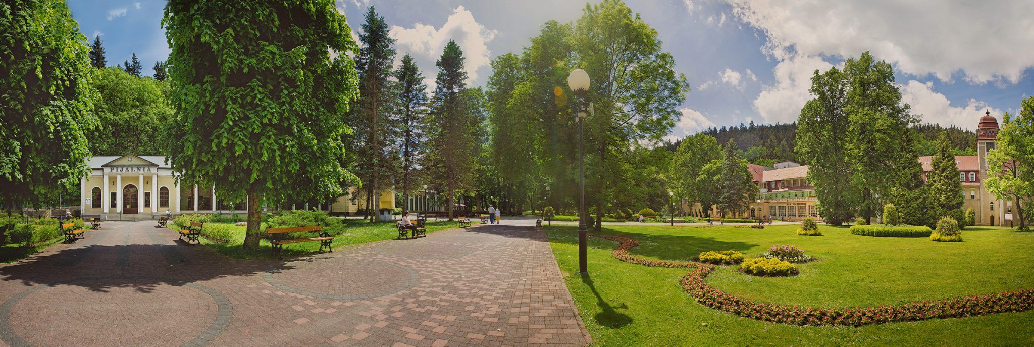
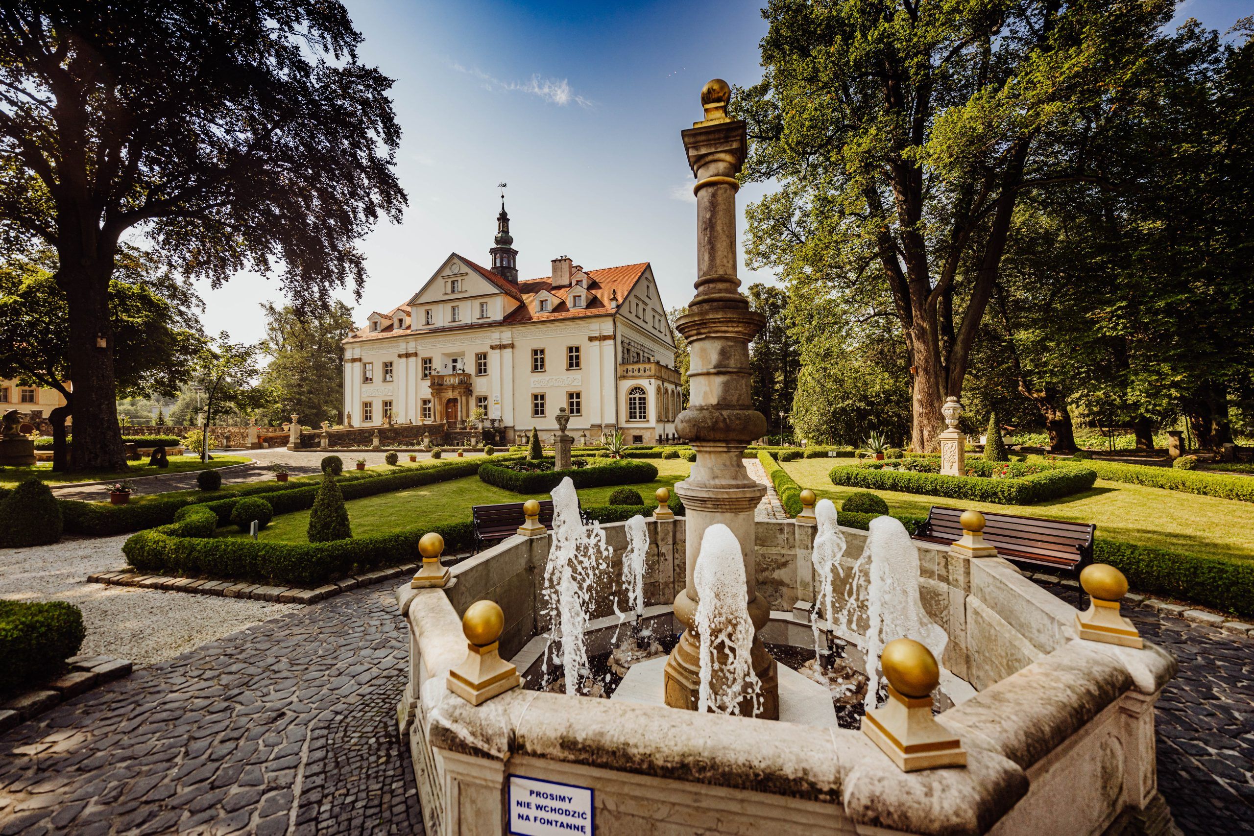
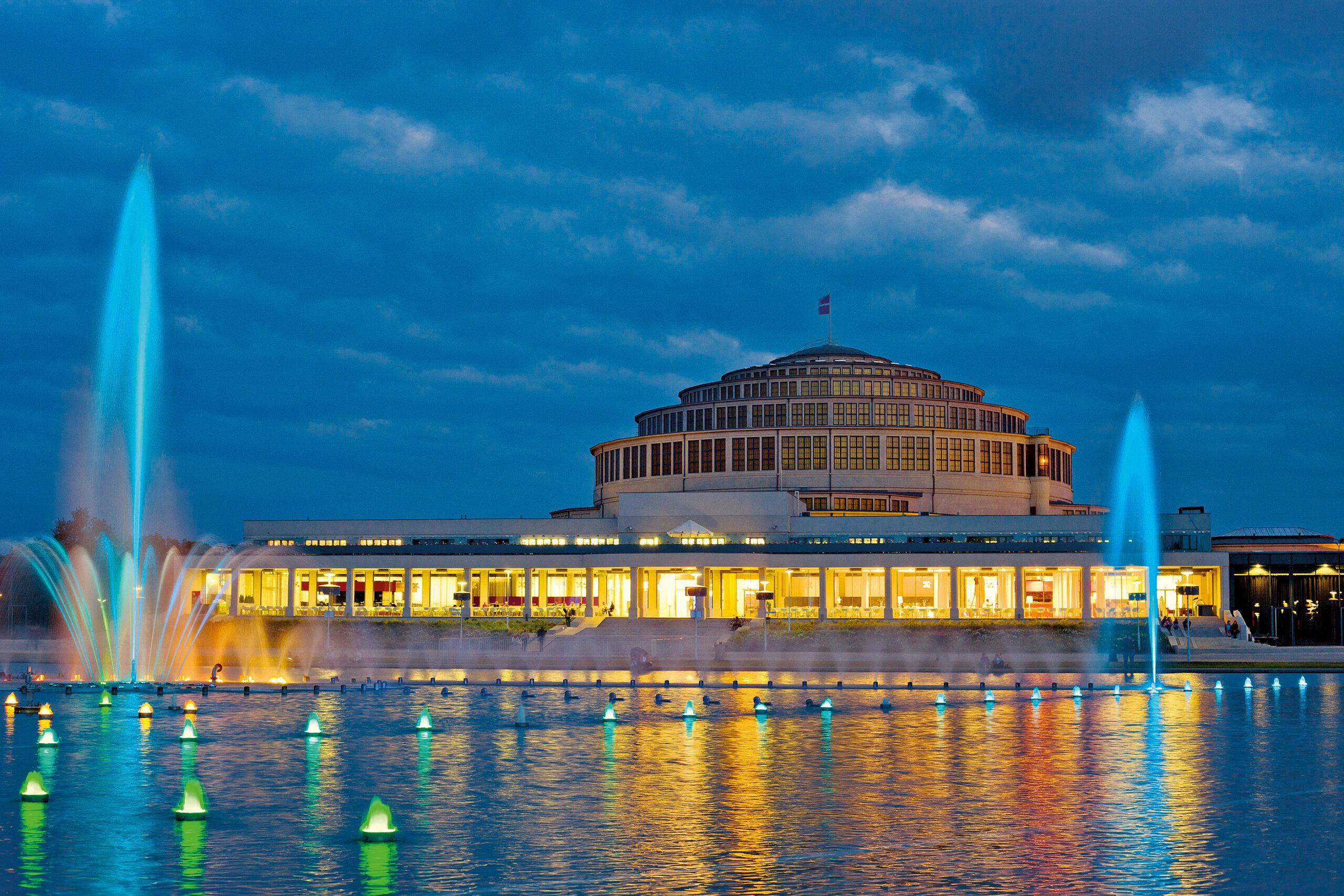
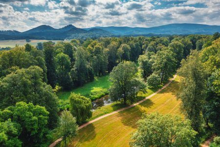
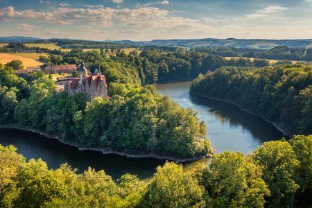
Wonderful gardens
Wildlife with minimal human interference awaits you in one of 2 national parks or 12 landscape parks. However, it is worth remembering the well-kept gardens such as the English palace gardens in the Jelenia Góra basin, two arboreta in Wojsławice and Stradomia Wierzchnia, French gardens in the Wrocław viridarii (Royal Palace, Ossolineum, Ostrów Tumski, Mausoleum of the Silesian Piasts in Wrocław), alpine and Japanese gardens in Przesieka and Stara Morawa or fantastic city parks in Syców and Legnica are just a few suggestions.